Refine your search
Primary Category
Category
Brand
Item Type
7 item(s)
Filtered by:
- Category
- List
- Grid
-
7 item(s)/page
Results for live webcast and timed auctions may not have been verified by the auctioneer. If you are in any doubt of the accuracy of the prices provided, please call the auction house to confirm.

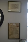
Map of England by Thomas Bowen circa 1780, plus a Small Map of Yorkshire
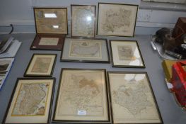
Ten Framed Map Dated From 1720's Including Lincolnshire, Cornwall, etc.
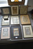
Ten Framed Vintage Maps 1740's etc.
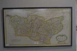
Map of Kent by Morden circa 1700 plus Map of South Wales
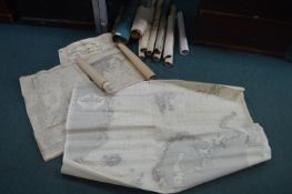
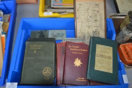
Vintage Fishing Charts, Ordinance Survey Maps, etc.
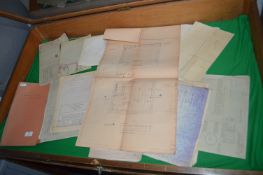
Railway Plans and Blueprints for Hull and East Riding
-
7 item(s)/page